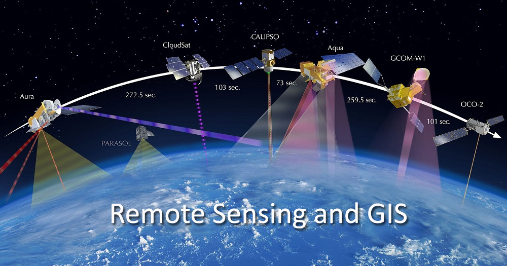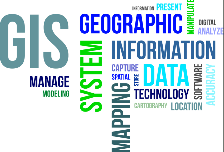
The course Fundamentals of Geographic Information System (GIS) provides a comprehensive introduction to the concepts, principles, and applications of GIS in environmental sciences and related disciplines. Designed for undergraduate students, the course builds foundational understanding of how spatial data is captured, managed, analyzed, and visualized to support scientific research, planning, and decision-making.
Beginning with the evolution and nature of GIS, the course introduces students to essential hardware, software, and data components of a GIS environment. Students learn how real-world geographic phenomena are represented digitally through various spatial data models—vector, raster, TINs, and tessellations—and how these representations support different analytical functions.
A major focus is placed on spatial data management, including data capture methods, data quality assessment, coordinate systems, map projections, and spatial referencing. Students will gain technical skills in preparing, storing, and maintaining high-quality spatial datasets for environmental applications.
The course further covers advanced spatial data analysis, enabling students to perform classification, measurement, neighbourhood analysis, connectivity operations, and spatial selection using attribute and topological relationships. These analytical tools are essential for identifying patterns, relationships, and processes across landscapes.
In the practical component, students receive hands-on training using QGIS, an open-source GIS platform. Activities include map reading, geometric correction of Survey of India topographical maps, feature digitization from topographic sheets and satellite data, attribute editing, symbol customization, and map layout design. By the end of the course, students will be able to independently create, edit, analyze, and present spatial data for environmental assessments and research.
Overall, the course equips students with essential theoretical knowledge and practical skills to apply GIS effectively in ecology, environmental management, conservation planning, natural resource assessment, and other spatially-driven fields.
- Teacher: Prof. S. JAYAKUMAR S